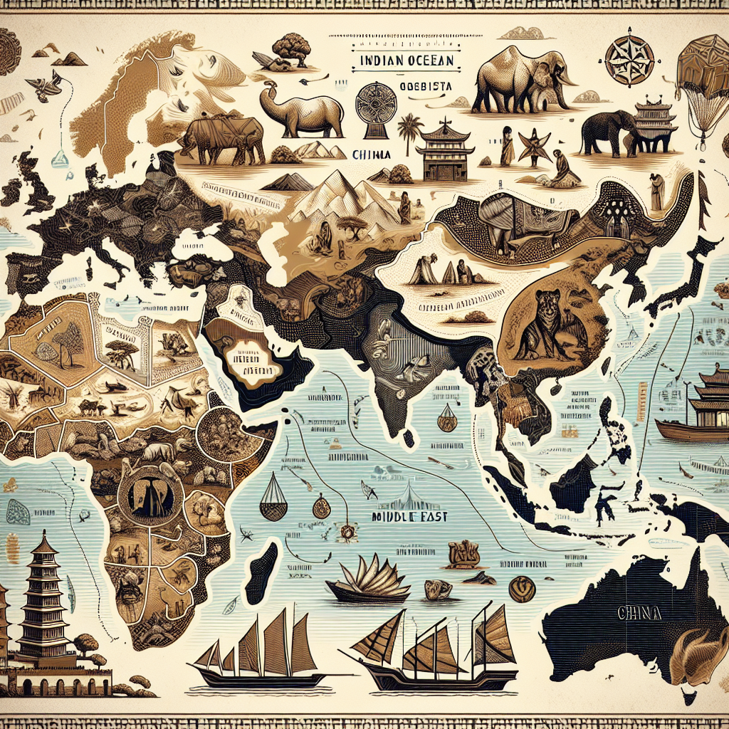
Which three regions were part of the Indian Ocean trade route?
A.
East Africa, Middle East, and China
B.
China, East Africa, and West Africa
C.
Mediterranean, West Africa, and East Africa
D.
East Africa, Mediterranean, and India
ANSWERS:
1: D.
East Africa, Mediterranean, and India
2: C.
Through trade, East Africa became a multicultural mix of diverse cultures.
3: Drag and drop the events in the order in which Christianity spread across East Africa
Greco-Romans settled and spread Christianity.
Christian churches were built along the coast of East Africa.
King Ezana became a Christian.
Zagwa rulers carved large churches out of rock.
I got 2/3 but i gave you guys all the right answers so ya
Have a great day
Connexus user, u might have just saved my life, Thank you!!
.",'\(^-^)/'.", <confetti
Connexus user is 100%
Use his/her answers
Connexus used is correct
have u noticed that the person who first asked the question never responds back. and thanks for the answers @connexus user real lifesaver
tkok! i saw u on another post tysm i got the answers!
@Connexus user is 100% correct TYSM
I have seen bot @tkoc1125 and @@👶🦋🦋😍💖 on here before.
💖💖💖💖💖💖💖💖💖💖💖💖💖
1 2 3 4 5 6 7 8 9 10 11 12 13
connexus user thx for the 100%
yep
THX @connexus user ❤❤❤❤❤❤❤❤
-lolbit 🟠🟣🦊