An illustrative geographical map showcasing the varied topography of Central Asia and the Caucasus region, focusing on unique physical features like deserts, mountains, and rivers. The map should also hint at possible settlement patterns, giving viewers a clear view of how the terrain could influence human habitation. The image should also incorporate elements that convey the idea of plains, oceans, and volcanoes, such as subtle icons or color-coded areas, to cater to each of the four options given in the question. Make sure to not include any text in the image.

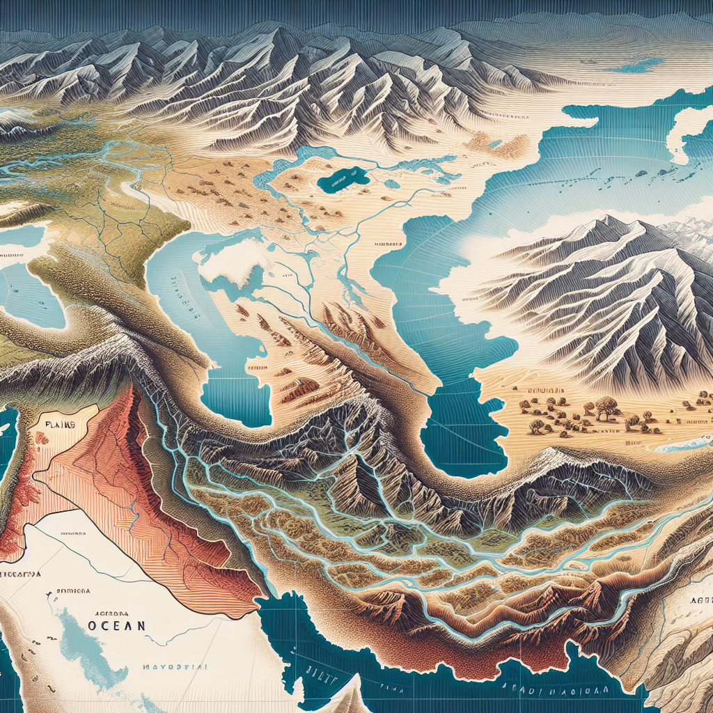
What physical features in Central Asia and the Caucasus shape settlement patterns?

A.
plains and oceans

B.
mountains and oceans

C.
deserts and mountains

D.
rivers and volcanoes

It is C

ITS C!!!!!!!!!!!!

Well, considering the landscape in Central Asia is mostly desert,i’ll back up the answer; it’s C. 🖤

It's C!

is it c?

Can anybody be SUREEEE that the answer is C???

Thanks

That's really helpful

its c

And you think … ?

its c I just did it on a question for school